
Project
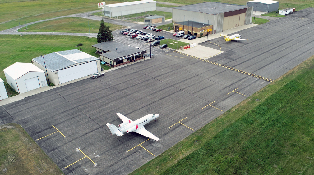
The Warroad International Memorial Airport (RRT) plays a critical role in supporting the local and regional economy by serving business aviation operations, aerial firefighting missions for the Minnesota Department of Natural Resources, and tourism access to the Lake of the Woods region. Increased activity during peak summer months led to congested aircraft parking and operational challenges within the apron and fueling areas.
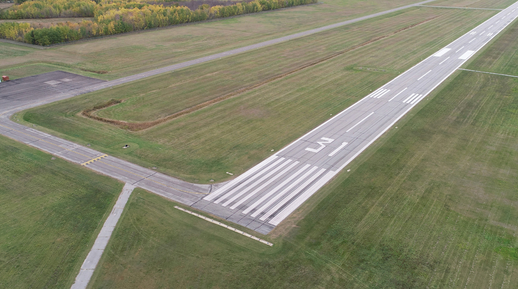
Existing airfield constraints—including wide separation between the parallel taxiway and runway, along with approach surface limitations to Runway 31—restricted apron depth and limited future hangar development. With reconstruction of the parallel taxiway planned as a future project, the City of Warroad initiated the Targeted Airport Planning Study to evaluate long‑term apron, taxiway, and hangar development needs while meeting current FAA design standards and accommodating growing user demand.
Solution
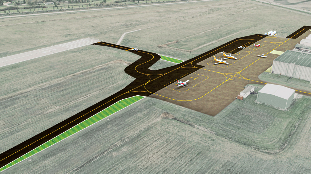
Working closely with the City of Warroad, airport stakeholders, the FAA, and MnDOT, KLJ evaluated multiple layout alternatives to optimize limited airfield space while improving safety and capacity. A dual taxilane apron configuration with a nested aircraft parking layout emerged as the preferred solution, expanding the usable apron footprint and providing greater flexibility for a range of aircraft types and sizes.
The planning effort also included relocating the fuel system to a dedicated area south of the apron to reduce operational conflicts, identifying future hangar development areas, and evaluating expanded passenger vehicle parking to support continued growth. Because portions of the proposed layout extended near protected airspace surfaces, an FAA Airspace Study was completed to confirm safe aircraft operations within the updated configuration.
Environmental considerations were fully integrated into the study. The team carefully minimized impacts to wetlands and jurisdictional ditches while refining taxiway geometry, including updated connector alignments and new exit taxiways to improve efficiency for larger turboprop and turbofan aircraft. Additionally, a new location for the airport’s Automated Weather Observing System (AWOS) was identified to improve wind data accuracy by reducing interference from nearby structures.
Result
The completed Targeted Airport Planning Study established a clear, implementable roadmap for airfield improvements that enhance safety, efficiency, and long‑term functionality at Warroad International Memorial Airport. Following completion of the study, the airport immediately advanced into design for taxiway reconstruction, realignment, and apron reconfiguration, with construction anticipated in 2027.
The study demonstrated the City of Warroad’s leadership and commitment to providing a safe, efficient, and future‑ready airport facility for the community and its users—an effort recognized by the Minnesota Council of Airports with the Outstanding Leadership in Airport Planning, Environment & Strategic Initiative Award.
