PROJECT
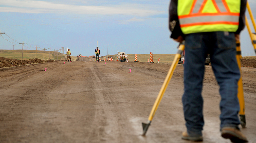
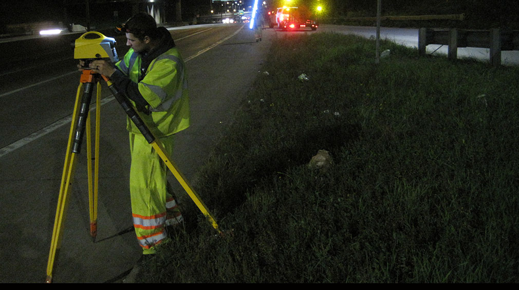
The scanning model was ground controlled with painted targets on the pavement surface and a survey type nail set at a point on the painted target. Ground control targets were positioned with VRS RTK GPS to provide horizontal X, Y coordinate position. Followed by digital level surveys through all targets using 2nd order or better, MnDOT bench marks. Continental Mapping captured digital imagery by use of a mobile LiDAR scanning vehicle.
SOLUTION
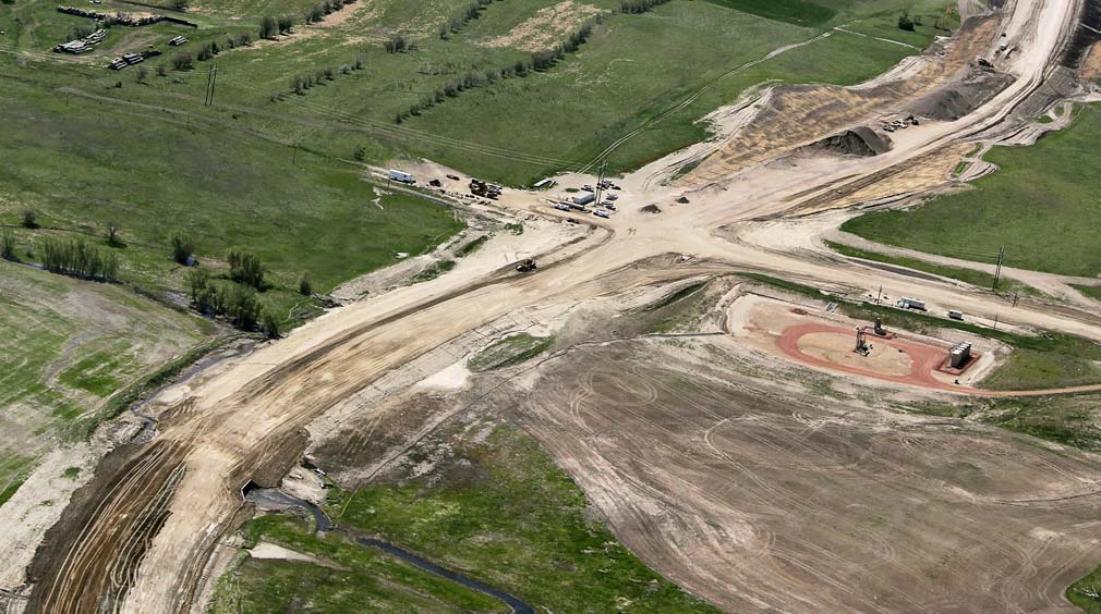
The scanning provides coverage of the in-place roadway surface, shoulders, cross overs, turn lanes, roadway bridges, and ramps. The LiDAR was required to capture all in place structures within the mapping limits. Final product accuracy of 0.05 feet RMSE Vertical accuracy.


RESULTS
This mapping project provides MnDOT with unparalleled quality data to be used for reconstruction plans, pavement assessments, bridge clearances and facilities inventories. This project was also awarded a 2017 Minnesota American Council of Engineering Companies (MN/ACEC) Honor award for engineering excellence.