PROJECT
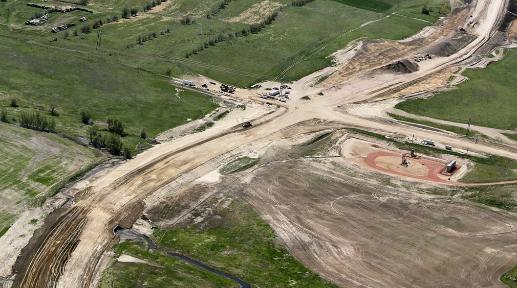
The control survey, which provided data for preliminary survey work, consisted of horizontal and vertical control points set, supplemented with found or set cadastral points required for drafting plats along the route. Preliminary survey was performed utilizing kmz files as a baseline for establishing the route. KLJ survey crews determined the pipeline’s location. Once location was determined, a proposed alignment was set, then reviewed and approved. Data gathered from the control and preliminary survey allowed for development of alignment sheets, easement drawings, application drawings for highway and railroad crossings, and directional drills.
SOLUTION
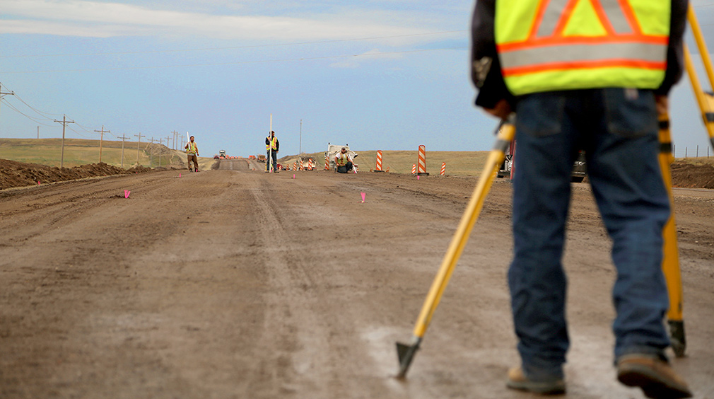
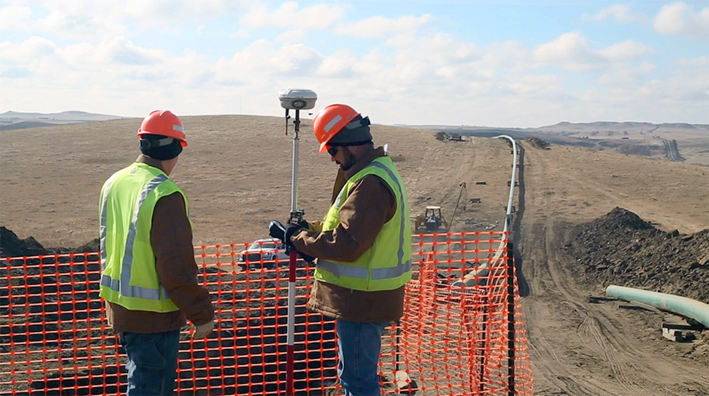
KLJ survey crews staked the length of the proposed pipeline for construction purposes. Staking included proposed alignment at all PI locations and offsets and every 200 feet along the pipeline as well as right-of-way limits and delineated work spaces referenced to offsets to the proposed centerline. KLJ crews worked closely with engineers and construction crews to survey the pipeline during construction. As-built survey data included all weld points, bore start and end locations, directional drill locations, cathodic protection points, mile markers, and other pipeline appurtenances. The information acquired and recorded during the as-built survey will provide vital information for the future operations and maintenance of the pipeline.
RESULTS
KLJ crews work closely with the engineers, client representatives, design personnel, land agents, and others to provide thorough preliminary survey information to the client. All data was collected and compiled in a State Plane projection for seamless integration on future design and mapping systems. GIS shape files were provided upon completion.